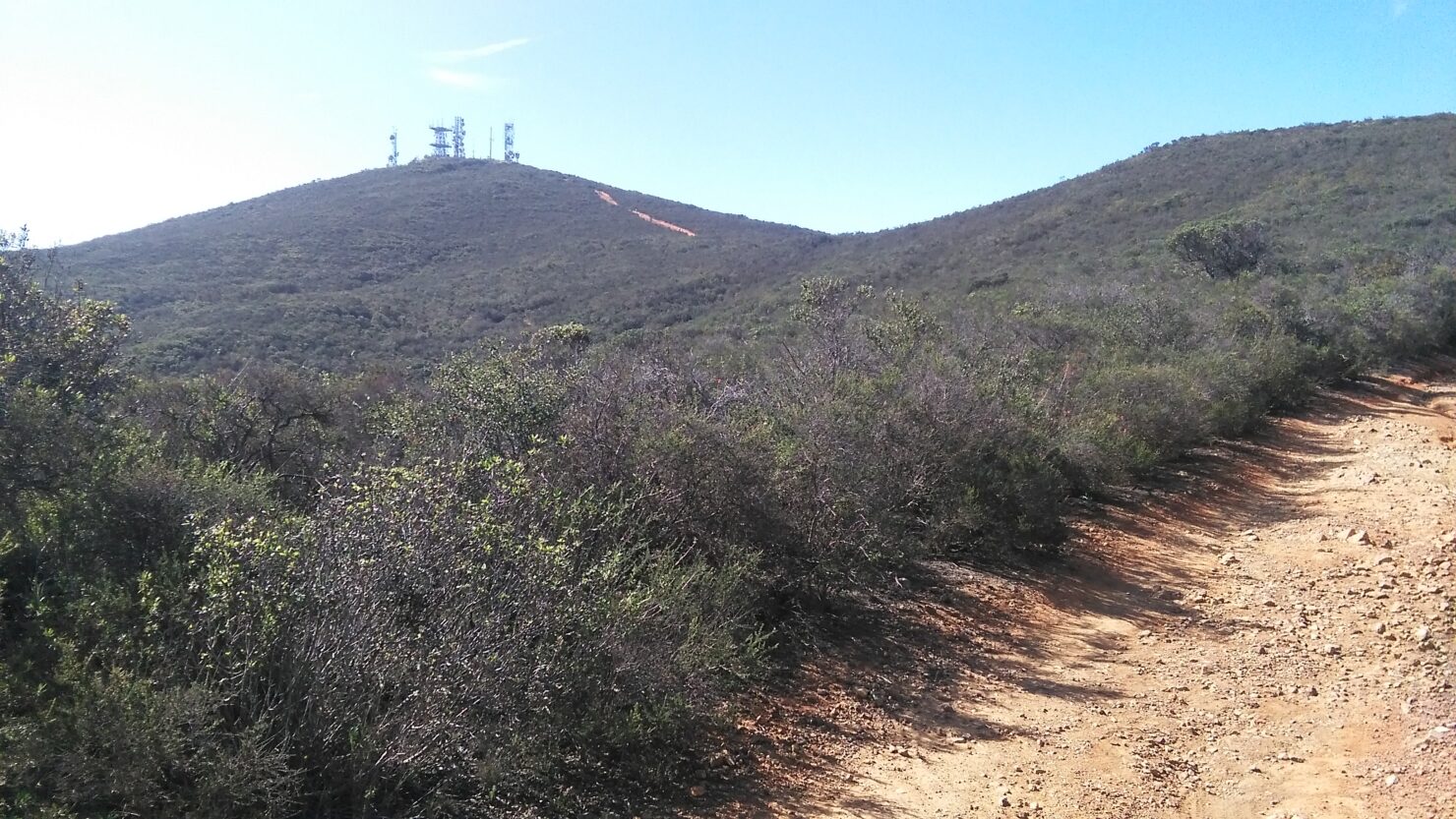
Dec 16 – Black Mt., Miners Ridge Loop Trail
Hike Black Mt., Miners Ridge Loop Trail, near Rancho Penasquitos.
9:30 am, Saturday, December 16, 2023
Trailhead GPS coordinates: 32.99263, -117.11633
(Enter the GPS numbers as written in the address spot in your map app)
Join us for a nice hike up to the top of Black Mt. This popular mount offers all-around great views of the Central San Diego Co. area making for a great day hike experience for exercise and social. Not too a hard hike, but moderate effort, 4.5 mi round trip. A rocky trail of a partial loop out and back. There is one 70-meter-long steep rocky section to walk up to get to the upper adjoining service road.
Meet: At the MINER’S RIDGE LOOP TRAIL parking lot at 9:30 am, by Black Mt./4S Ranch-RP area. Our route will start there and follow the trail up to the top. Round trip; ~4.5 miles with a 730 ft elevation change, time ~3 hours. Leashed dogs (with water) are ok on the trails. Sorry, no bathrooms.
Shorter hikes can finish the lower loop trail from where we divert onto the top trail and enjoy an easier lower hike ~2.5 miles round trip.
What to bring: Suitable hiking footwear for rocks on trail, good shoes are ok, appropriate hiking clothing for the weather hot-warm or chilly, binoculars, .5L water/drink, maybe a pocket snack.
Directions: Tricky to get to, please read.
From Hwy 78 to I-15 Southbound, exit at Bernardo Center Dr (in Rancho Bernardo area), head West 3.7 miles. Go straight through several intersection lights. The road name will change to Carmel Valley Rd. Note: When passing through the traffic light T-intersection of Valle Del Sur Ct, look on other side of divided road to see the small entrance to Miners Ridge Loop trail. That’s where you need to get to coming back! Follow Carmel Valley Rd to Black Mountain Rd intersection and make a U-turn heading back east on Carmel Valley Rd. (Pass on by the “Glider Port” entrance). About 0.9 mi downhill watch for the small driveway turn in on the right side. Turn in and follow the driveway up to parking area and you’re there.
From I-5, take Hwy 56 East to Black Mountain Rd exit. Go north, left, on Black Mnt Rd up to Carmel Valley Rd intersection. Go east, right, ~.9 mi to trail entrance as stated above.
Info: Text/call Vinnie R. at 858-231-7722
In case of significant rain, the hike will be canceled.
